

Tuition & fees
Costs include tuition, fees, & other costs such as books. Students who choose to study fully online receive our e-tuition rate. See cost details
Credit hours
12 required credit hours. Most courses are equal to 3 credit hours.
Browse course list
Program duration
Finish in as few as 2 years.
Explore program requirements
Admissions
Rolling admissions. Begin program in fall, spring, or summer. View application process & deadlines
Program highlights
State-of-the-art equipment
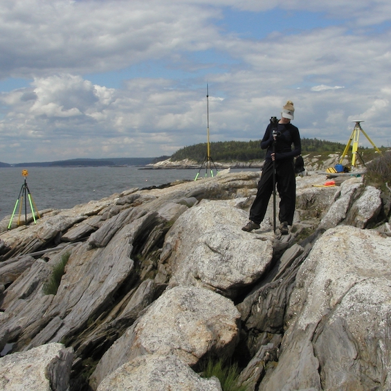
Students can put theory-to-practice in one of our Geographic Information Systems (GIS) labs, which provides a dedicated space, high-end computers, industry-leading software, and equipment to support geospatial technology-related work.

Actively engaged faculty
Our widely published faculty cover a diverse range of subjects and expertise. Along with their active roles in teaching and hands-on learning, they are publishing research in national and international venues.

Program requirements
Our curriculum helps build a foundation of knowledge in geospatial technology skills. You’ll understand how to use GIS properly and apply your understanding in diverse fields such as business and marketing, biology, emergency management, geology, infrastructure, and environmental and urban planning.

A growing industry
The U.S. Department of Labor recently identified geospatial technology as among the most important emerging and evolving fields within the economy.
Our helpful admissions counselors are here to answer your questions about the admissions process, our academic programs, and student support services. We also invite you to explore the many ways to visit campus or to engage with us through online experiences.