

Exceptions and contradictions are part of human nature. In making maps that reflect cultural and political trends, Dr. Bill Rankin has learned to embrace the messiness of humanity.
“There is no one set of rules that, if you follow them, the map will be perfect,” Rankin said. “There are rules that people try to follow, but often times, those rules lead people astray. And sometimes, some of the most brilliant and effective maps are the ones that don’t follow those rules.”
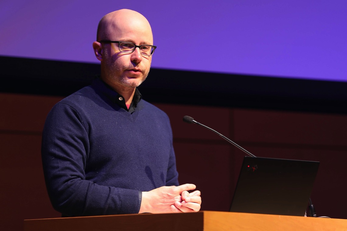
Rankin visited the University of Southern Maine on April 6 to share his insights in a lecture titled Radical Cartography: Visual Argument in the Age of Data. He’s an associate professor of the history of science at Yale University. His early training as an architect contributed a strong sense of design and structure to his later work as a mapmaker.
Rankin has a long history with USM’s Osher Map Library and Smith Center for Cartographic Education, including membership on the library’s Board of Review. Library Executive Director Libby Bischof was happy to welcome him back.
“I find his scholarship really exciting,” Bischof said. “He’s a fellow historian. But the way in which he analyzes data in a visual way, I think, is really exciting. And he lives at the intersection of the history of science and the history of cartography and not a lot of folks do that.”
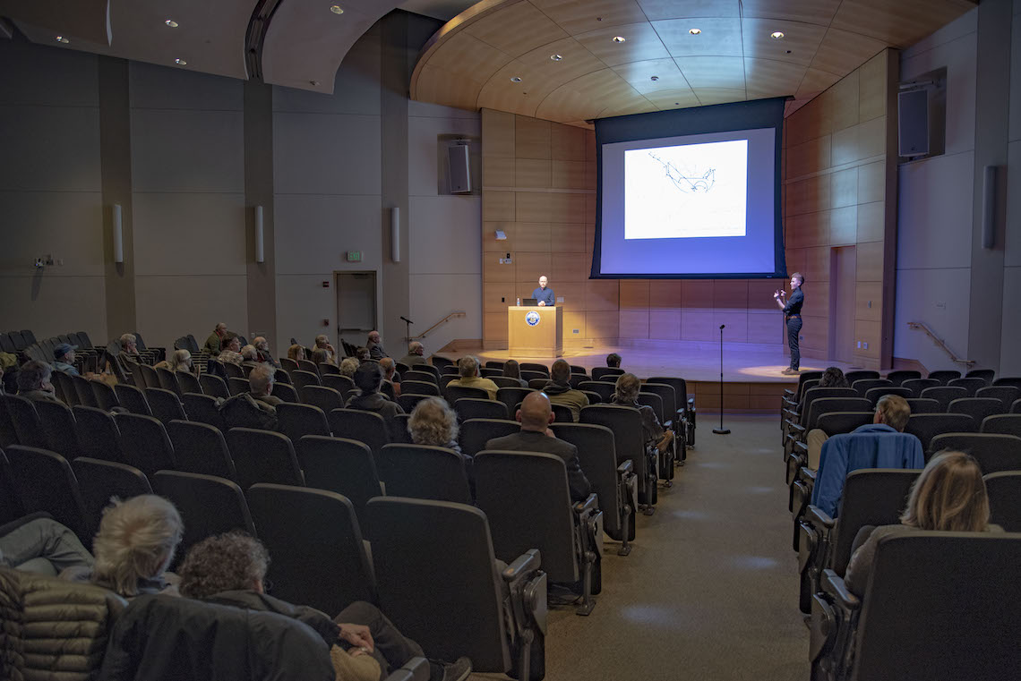
The first map that Rankin projected onto the screen in Hannaford Hall showed a grid of streets in Detroit studded with numerous dots. Below the image was the caption, “Where commuters run over Black children on the Pointes-Downtown Track.” Its appearance was quickly followed by the sound of people shifting in their seats.
Rankin admitted that he had a similarly intense reaction the first time he saw the map. It demonstrated how effectively a clear layout can inspire such strong emotion.
The Detroit Geographic Expedition and Institute published the map in 1971 to make a point about racial inequities. The data invited viewers to think about the consequences of “white flight” to the suburbs and the shortfalls of urban planning in Black communities.
When Rankin paused to take questions, River Alleyne seized the opportunity to ask about the methodology of the mapmakers. The topic held special interest to them as both a sophomore History major and a worker in the Osher Library.
“For maps like these, it’s always important to consider the context and the point of view of the creator because there’s a lot that a map can tell you beyond just geographic features,” said Alleyne.
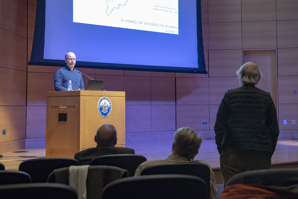
Rankin expanded on Alleyne’s observation about the interplay between demographics and geography. The data in the foreground of a map can appear more credible and permanent when placed in relation to recognizable landmarks. But Rankin cautioned against falling into that trap since even geography isn’t static. Roads can be rerouted and rivers can be dammed. As conditions change, so can the data and the resultant outcomes.
A parade of maps showed different ways to present data with varying degrees of success and accuracy. “Region of Rat-Bitten Babies” offered another glimpse of Detroit’s dark side. A map of France brightened the mood with its cheeky title “When you greet a friend, how many times do you kiss?”
Rankin created the map of France. It looks like a pointillist painting with local preferences indicated by color. In some regions, a single color stands out. But in regions where the tradition is less uniform from town to town, the colors refuse to blend.
The map illustrates Rankin’s desire to visualize complexity. He’s skeptical of maps that show a sharp border separating two polar opposite groups. Rather than seeing borders as dividing lines, he sees them as middle grounds where the customs and opinions of those on either side are closely aligned. Moving outward from the border, change happens gradually but, even then, differences are rarely absolute.
“Changing the assumption from the default that the world should be strictly bounded and ordered with major abrupt changes across borders to an assumption that the world is more smoothly changing, I think, helps us be more chill about the world,” Rankin said.
Rankin was this year’s featured speaker in the Osher Library’s annual DiMatteo Lecture series. It was created in memory of John DiMatteo. In addition to a successful publishing career, he also served on the Board of Trustees for the University of Maine System. The audience for the lecture included members of his family.
“The out-of-the-box way a very old discipline was presented this evening, I think that would have intrigued my father. . . I think he would have had a very open mind to a new way of thinking about hard boundaries versus soft boundaries,” said Susan DiMatteo Keiler. And her sister agreed.
“This whole topic was right down his alley,” said Martha DiMatteo Vorlicek. “He loved history, he loved maps, he loved data. And he would have been right up there with the other gentlemen in the front row asking all sorts of questions.”
For a closer look at Rankin’s maps, visit his website, radicalcartography.net. And he explains the philosophy behind his work at length in his book, “After the Map: Cartography, Navigation, and the Transformation of Territory in the Twentieth Century.”