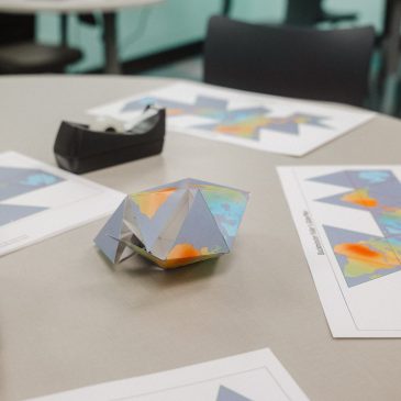
Osher Map Library Brings Interactive Map Lab to Lewiston-Auburn Campus
The Osher Map Library and Smith Center for Cartographic Education celebrated its first full school year at the University of Southern Maine’s Lewiston-Auburn Campus … Read More


The Osher Map Library and Smith Center for Cartographic Education celebrated its first full school year at the University of Southern Maine’s Lewiston-Auburn Campus … Read More
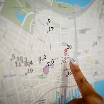
A University of Southern Maine (USM) professor and his students brought Portland’s past and present into sharp focus at a May 1 public event, … Read More
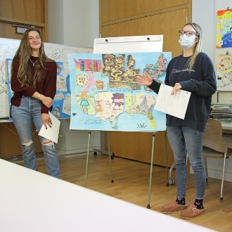
Each of the four maps produced by Dr. Paula Gerstenblatt’s Social Work class used different techniques including collage and allegory to illustrate how student loan debt grew into a national problem.
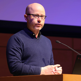
Dr. Bill Rankin talks about the role cartography can play in counteracting us vs. them thinking by recasting borders as a middle ground rather than dividing line between cultures.
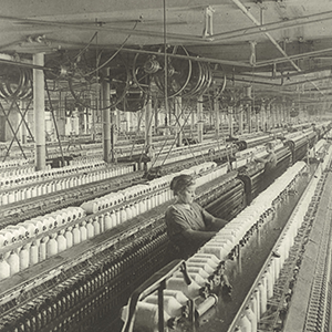
Read the Lewiston Sun Journal’s article featuring the Osher Map Library and Smith Center for Cartographic Education’s textile mill exhibition, “Industry, Wealth, and Labor: Mapping New England’s Textile Industry”.
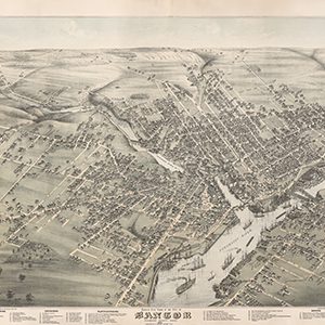
The Osher Map Library & Smith Center for Cartographic Education project — “Maine’s Bird’s Eye Views, 1870-1905” — has gathered 80 aerial renderings of Maine communities published during the era. Each has been digitized and made available to the public online.
The Osher Map Library and Smith Center for Cartographic Education was featured in the Portland Press Herald on Sunday, November 1, 2020. The article features the Map Library’s involvement in the Digital Project, “Mapping a World of Cities.”
On October 3, 2018, students from Professor John Muthyala’s English 370: Literatures of Discovery, Exploration, and Colonialism met in the Osher Map Library and … Read More