
A University of Southern Maine (USM) professor and his students brought Portland’s past and present into sharp focus at a May 1 public event, using historical and contemporary maps to reveal how the city’s landscape has evolved over generations.
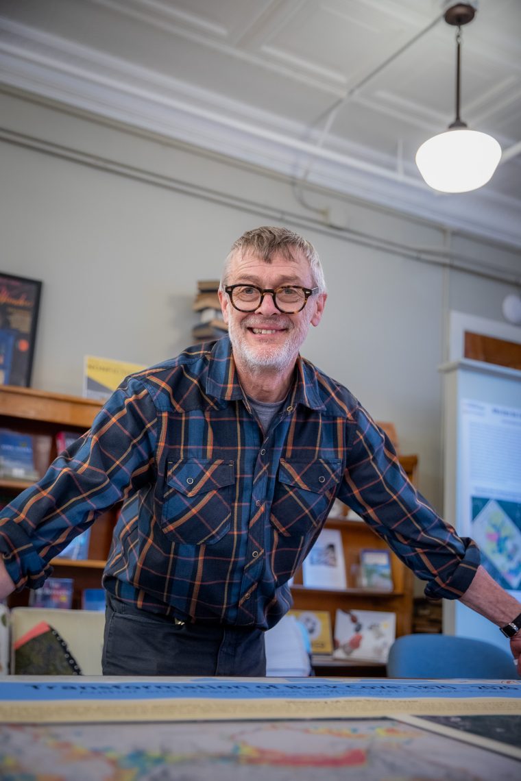
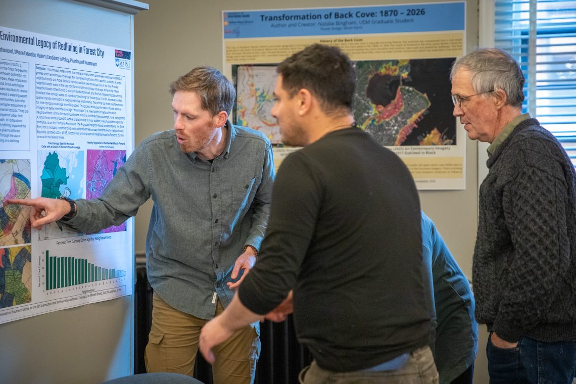
Matthew Bampton, professor and department chair of the geography-anthropology program, led a cohort of students from his advanced geographic information systems (GIS) course in presenting original digital mapping research at Maine Mechanics Hall during Portland’s monthly First Friday Art Walk.
The well-attended public showcase marked the culmination of a semester-long collaboration between USM, the Osher Map Library, and Whose Land, a public humanities initiative.”I want people to see that USM is a really vital part of this community,” said Bampton. “It doesn’t matter who you are — you come, you take a look at these maps and you’re going to see something cool.”
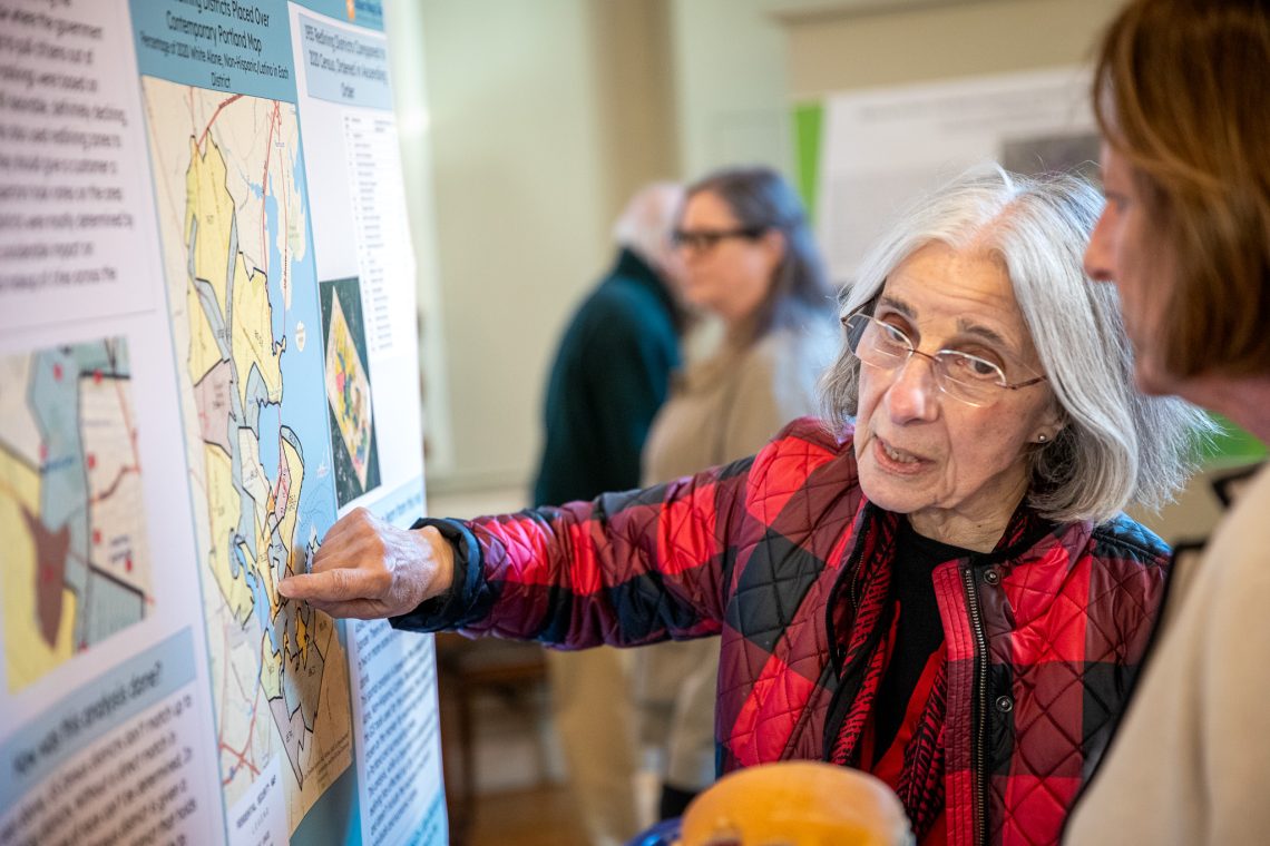
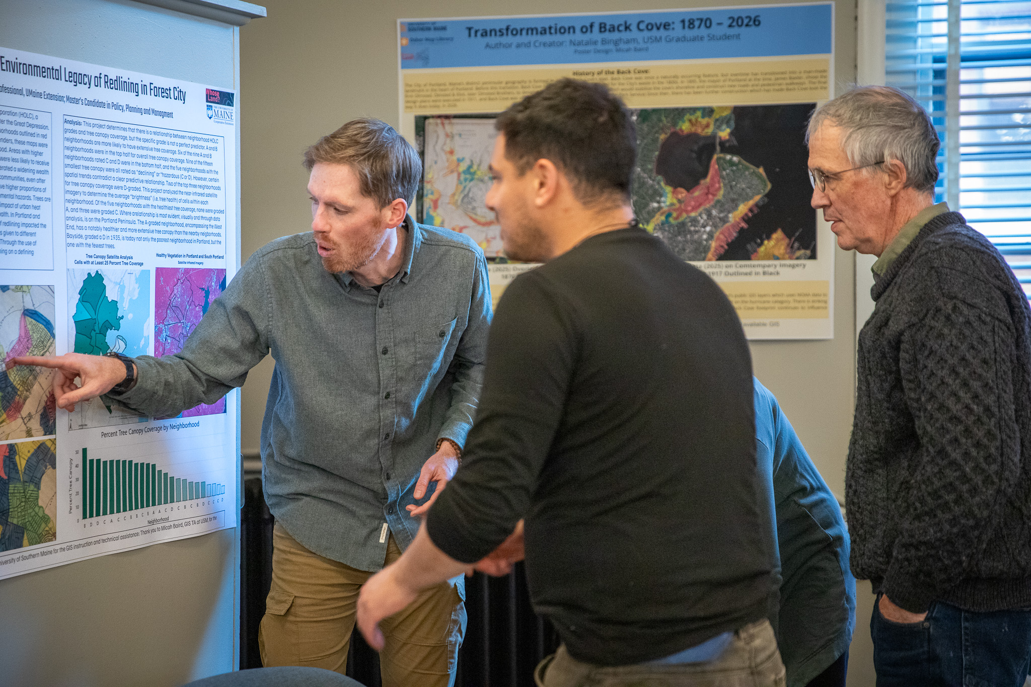
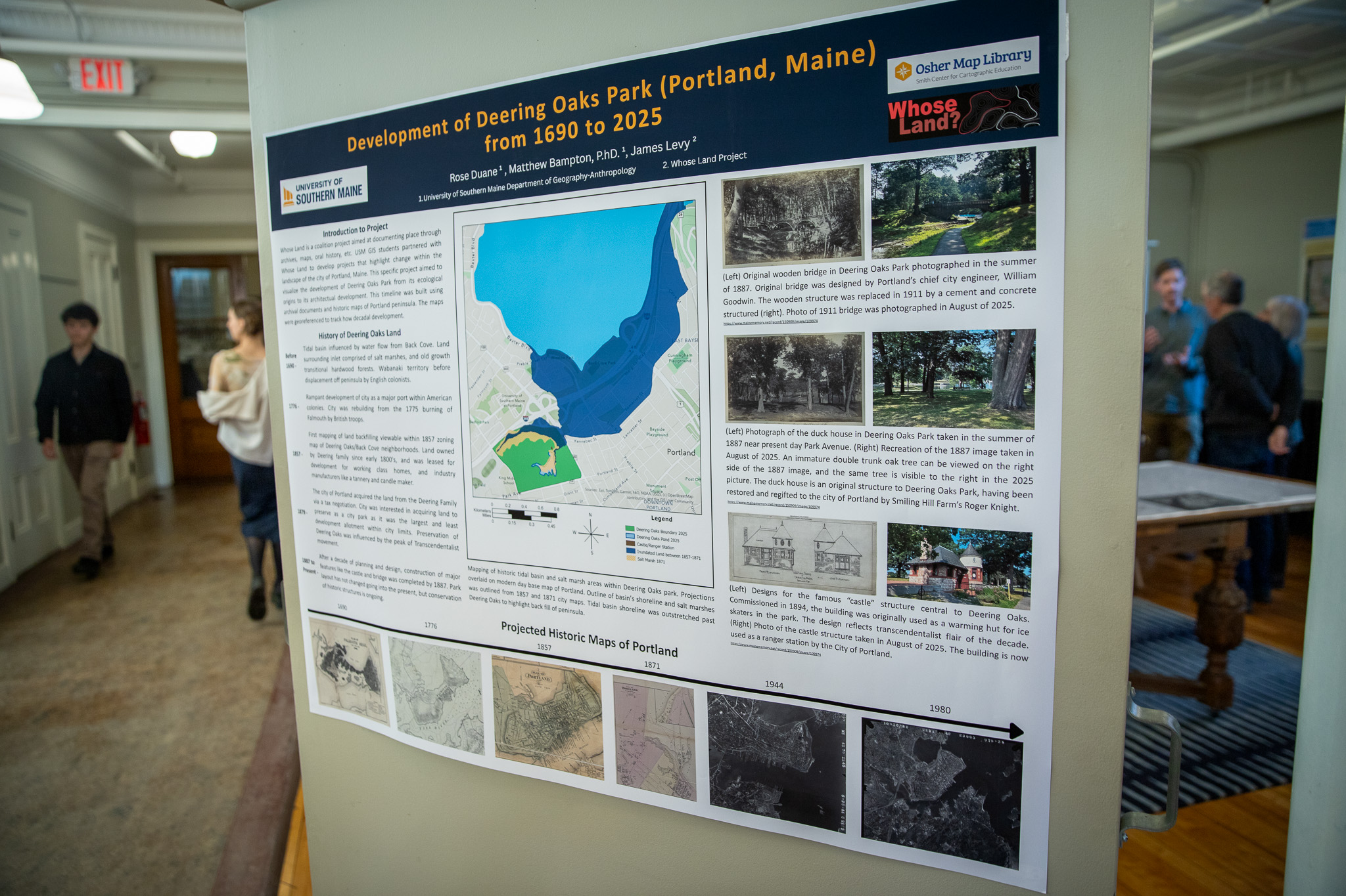
Students drew on the Osher Map Library’s collection of historical maps, layering them onto contemporary geographic data to reveal how the city’s physical and social landscape has changed over time. They examined topics including the history of redlining and its impact on today’s neighborhood demographics, Portland’s evolution as a transportation and maritime hub, and shifts in the location of entertainment venues across the city.
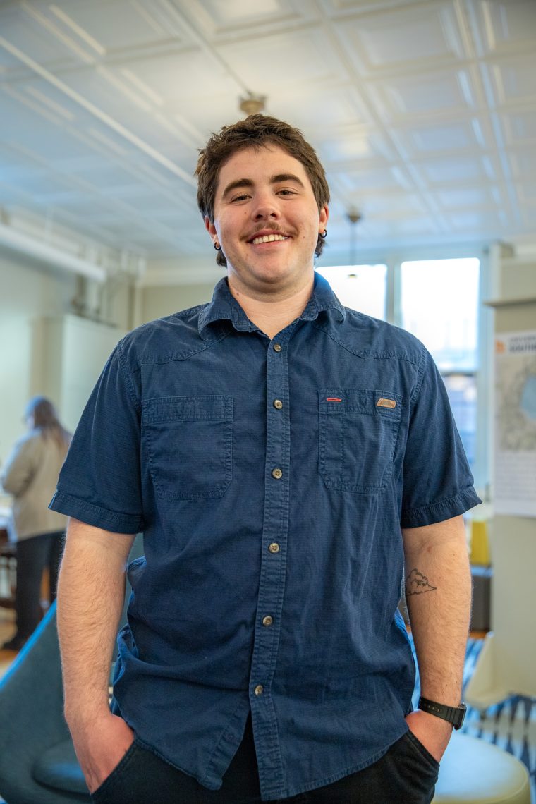
Micah Baird ‘27, an undergraduate geography-anthropology major, served as Bampton’s teaching assistant and conducted his own research on Portland’s history of redlining. He shared his work with Make History Portland, part of a national effort to document stories of land and place ahead of the nation’s 250th anniversary.
“What I found most compelling was how we can use a tool such as GIS to create a product that is easily digestible, interesting, and appealing to folks who aren’t always interested in geography or history,” Baird said. “At the end of the day: if you care about the stores you shop at, the sidewalks you take to the park, or the bench you sit on the Eastern Promenade, you care about the history, geography, and geology of Portland without even realizing it.”
Libby Bischof, executive director of the Osher Map Library and professor of history, said the collaboration reflects growing interest in applying digitized historical maps to contemporary questions.
“Any kind of new historical visualization helps us to ask new questions, and then asking new questions helps us to understand places in ways that are different from how we have previously understood them,” Bischof said. “It’s really nice to be the kind of supportive partner on this one, and just watch what our colleagues and our students create.”
James Levy, founder of Whose Land, leads the Race Place Coalition — a nonprofit that partners with schools, universities, tribal nations, and community groups to explore the history and impact of land displacement. The Whose Land website will host students’ completed GIS work.
Levy, a former history professor, said he was impressed with the USM students who worked on the project.
“When given the chance to take the lead and run with this project and host a public event, they chomped at the bit and have risen to the occasion with great facility,” Levy said.
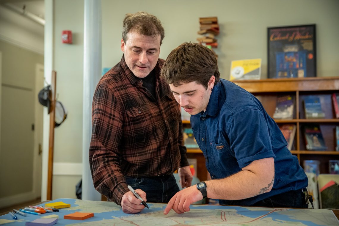
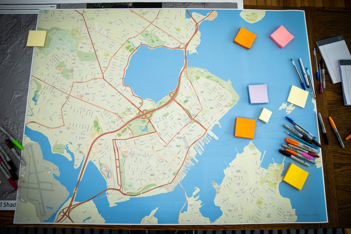
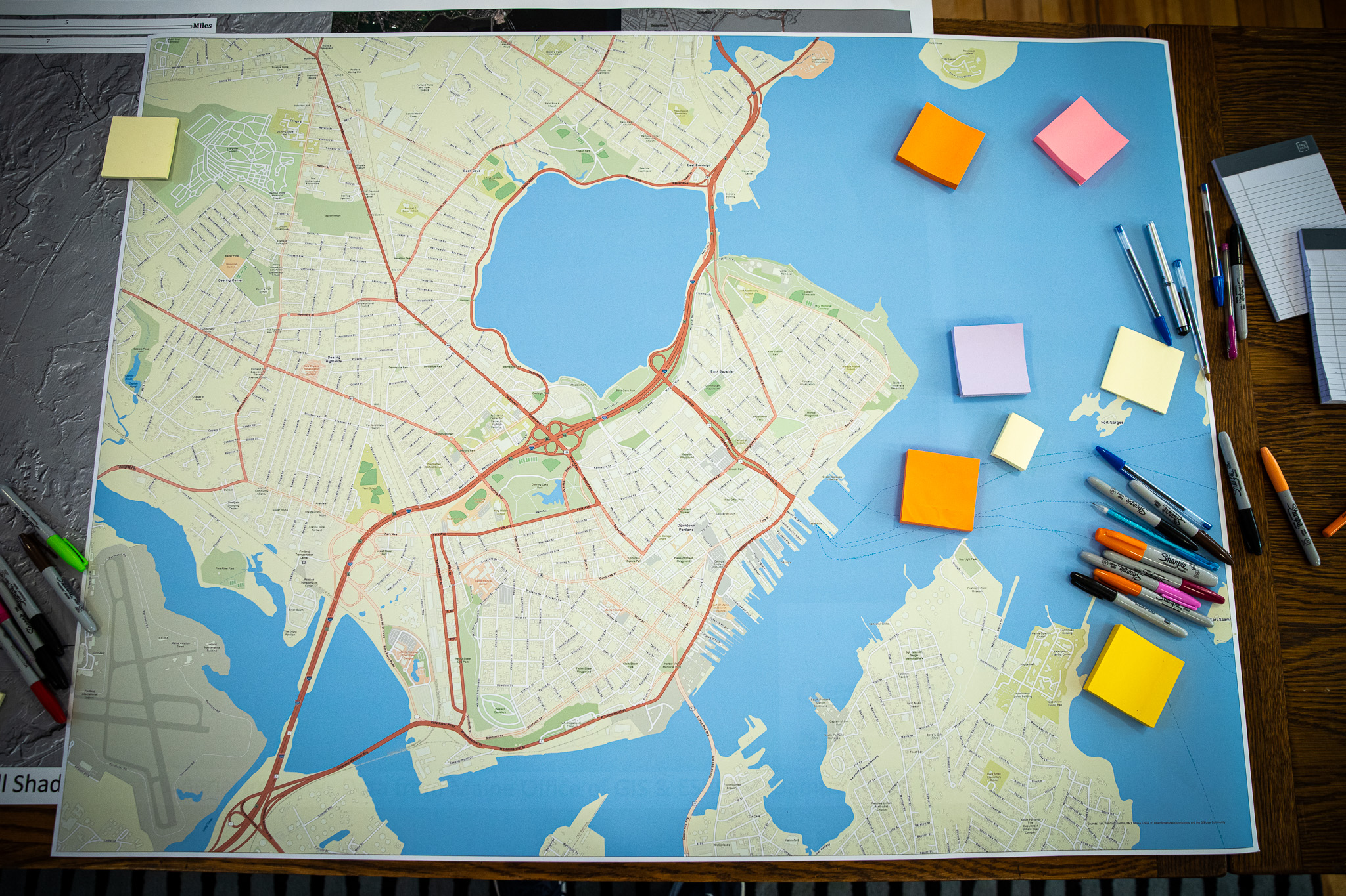
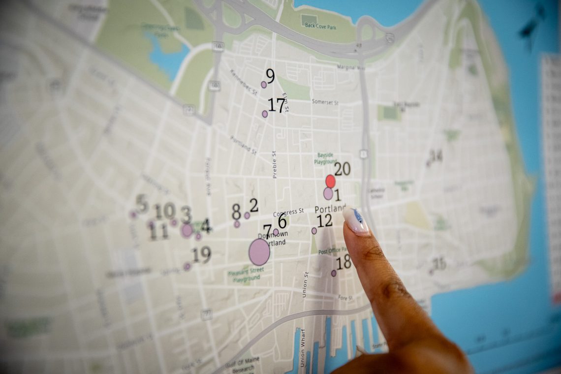
The event also included an interactive memory-mapping component in which visitors annotated a large printed map of Portland with personal memories and significant locations.
For Bampton, it was the public launch of his 2026-27 University of Maine System Trustee Professorship — a competitive, system-wide honor recognizing outstanding faculty scholarship, which will fund his continued work on the project through the coming academic year.
“People will hopefully walk outside and look at the city in a new way — instead of just seeing the world through the car or through their phone or whatever,” said Bampton.
Organizers hope this will become an annual event, crowd-sourced throughout the year by content and research from both students and residents.