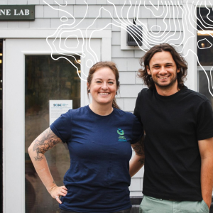

During a typical week at the Osher Map Library and Smith Center for Cartographic Education, students might examine the details of a centuries-old map in a nursing class, study how another was created in an art class, and trace changes in land and power across a region for a social work course. Although they share the same room and collection, each group discovers something different.
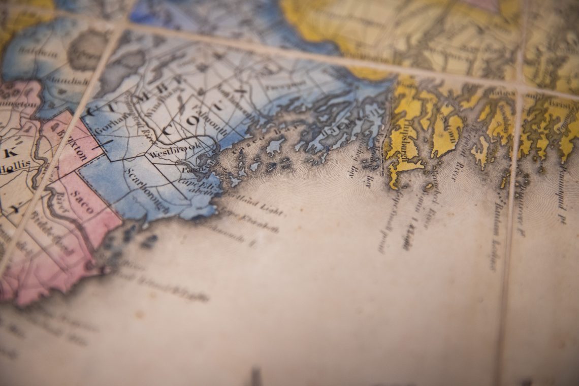
A half-million maps, from 1475 to today
The map library at the University of Southern Maine’s Portland campus holds almost half a million maps, atlases, and globes, with the oldest dating back to 1475 — making it one of the country’s premier map collections. The collection includes hand-drawn sheepskin charts, gilded atlases, hand-colored sea charts, globes, and wall maps large enough to cover an entire wall. Only a small, rotating selection is on display at any time in the gallery and the reading room, while most of the collection remains in the vault.
Inside the vault
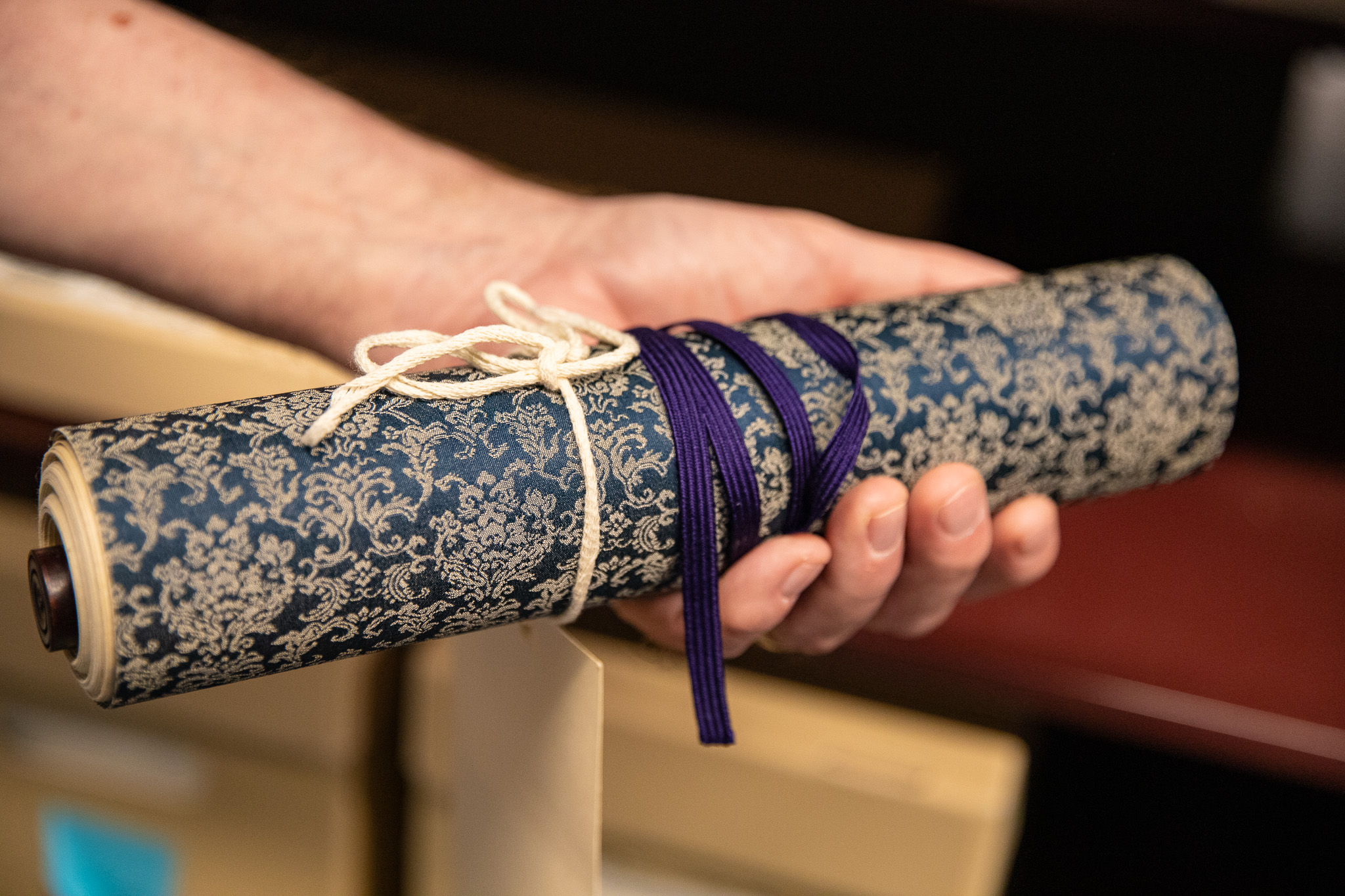
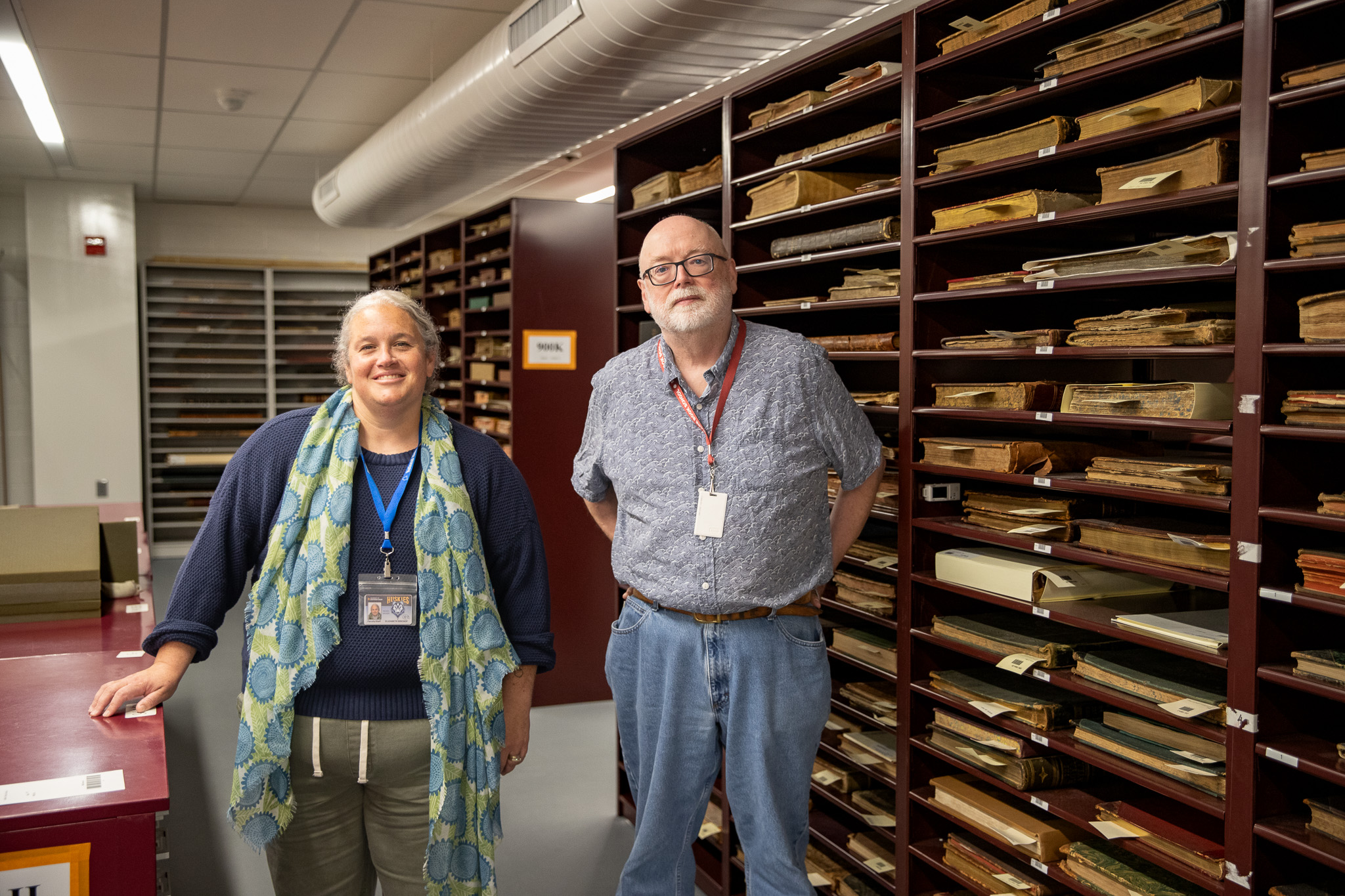
When you step inside the vault, you can see just how carefully everything is stored. The larger, framed maps hang on special wire racks that roll apart, so staff can easily take them out for classes. Other maps are kept flat in shallow metal drawers. Along one wall, deep burgundy shelves from the library’s early days hold leather-bound atlases and folios, some with worn spines, and a few rolled in patterned cloth and tied with ribbon. Larger wall maps are stored rolled up within tubes.
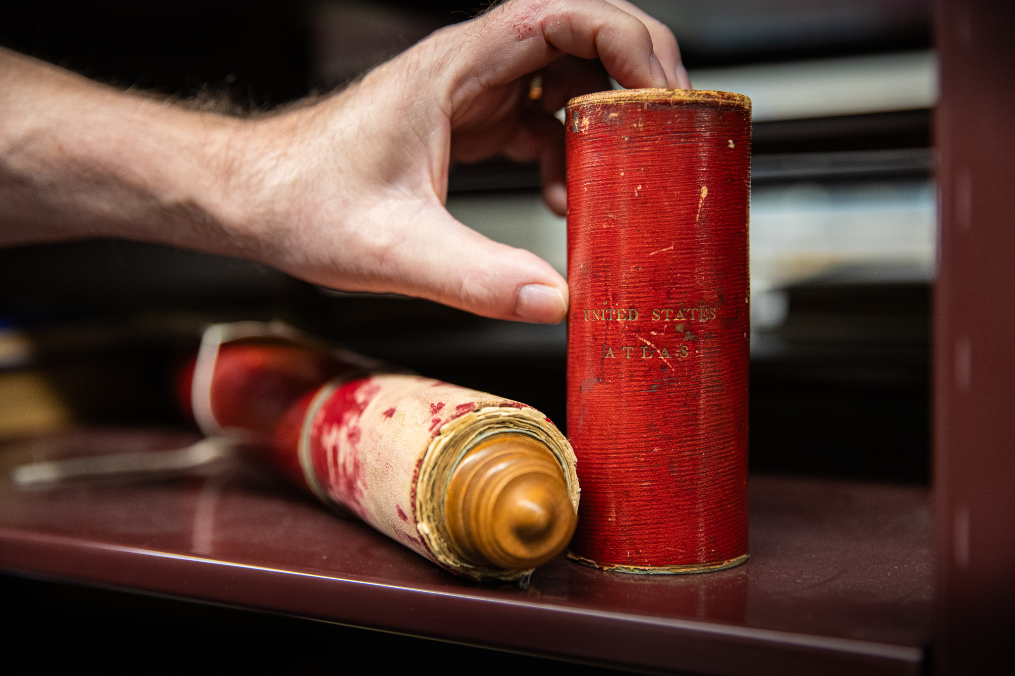
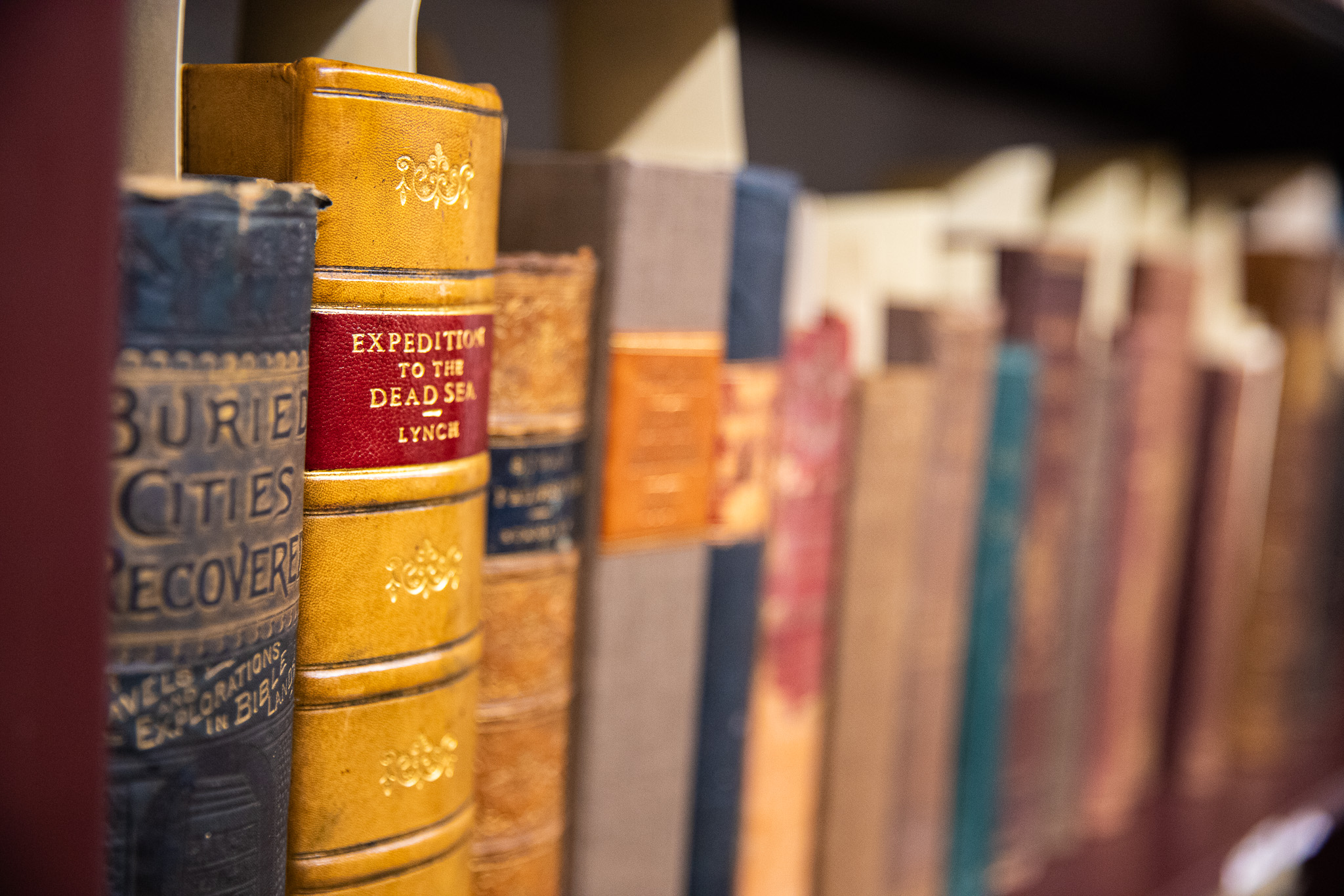
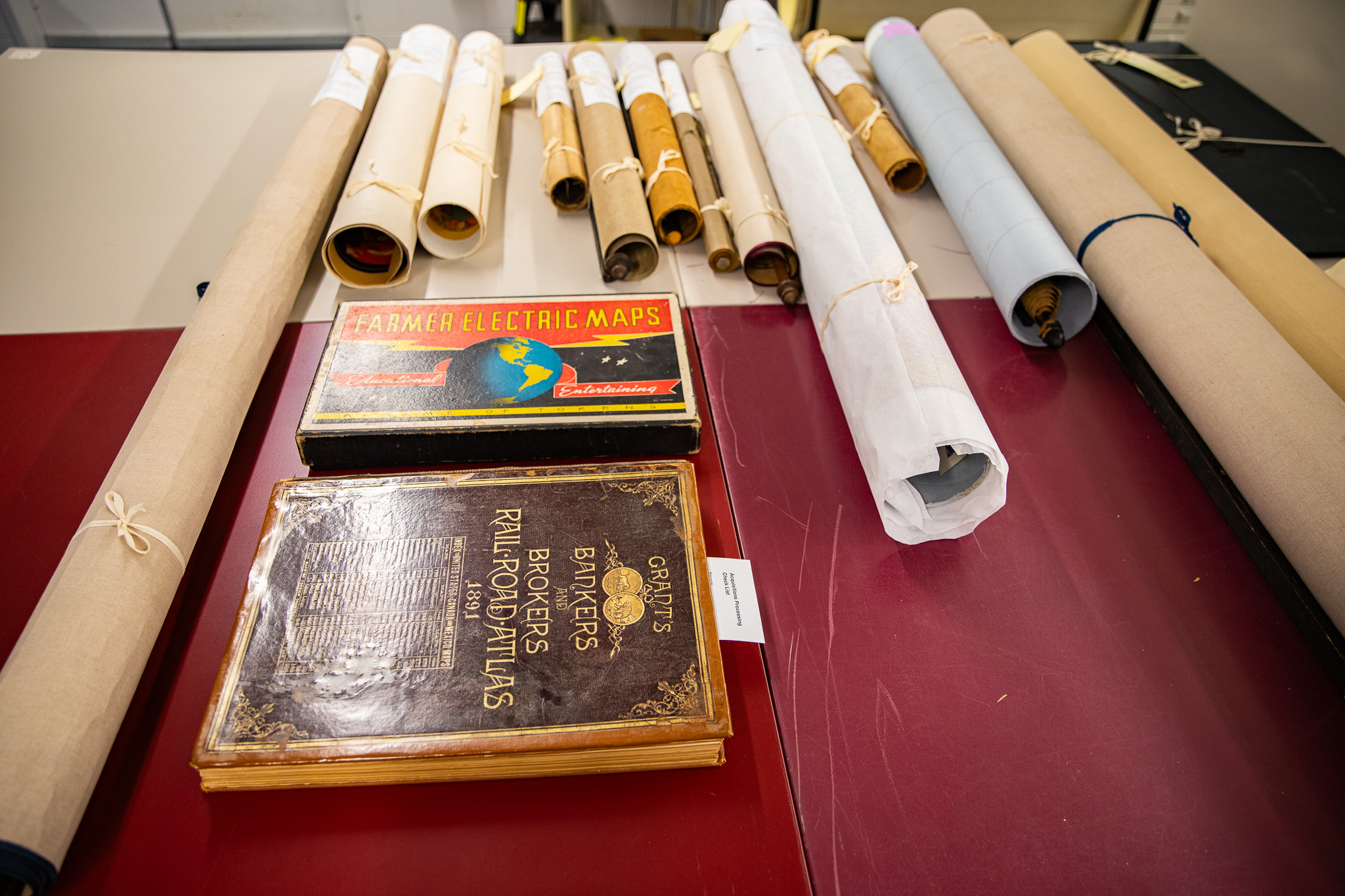
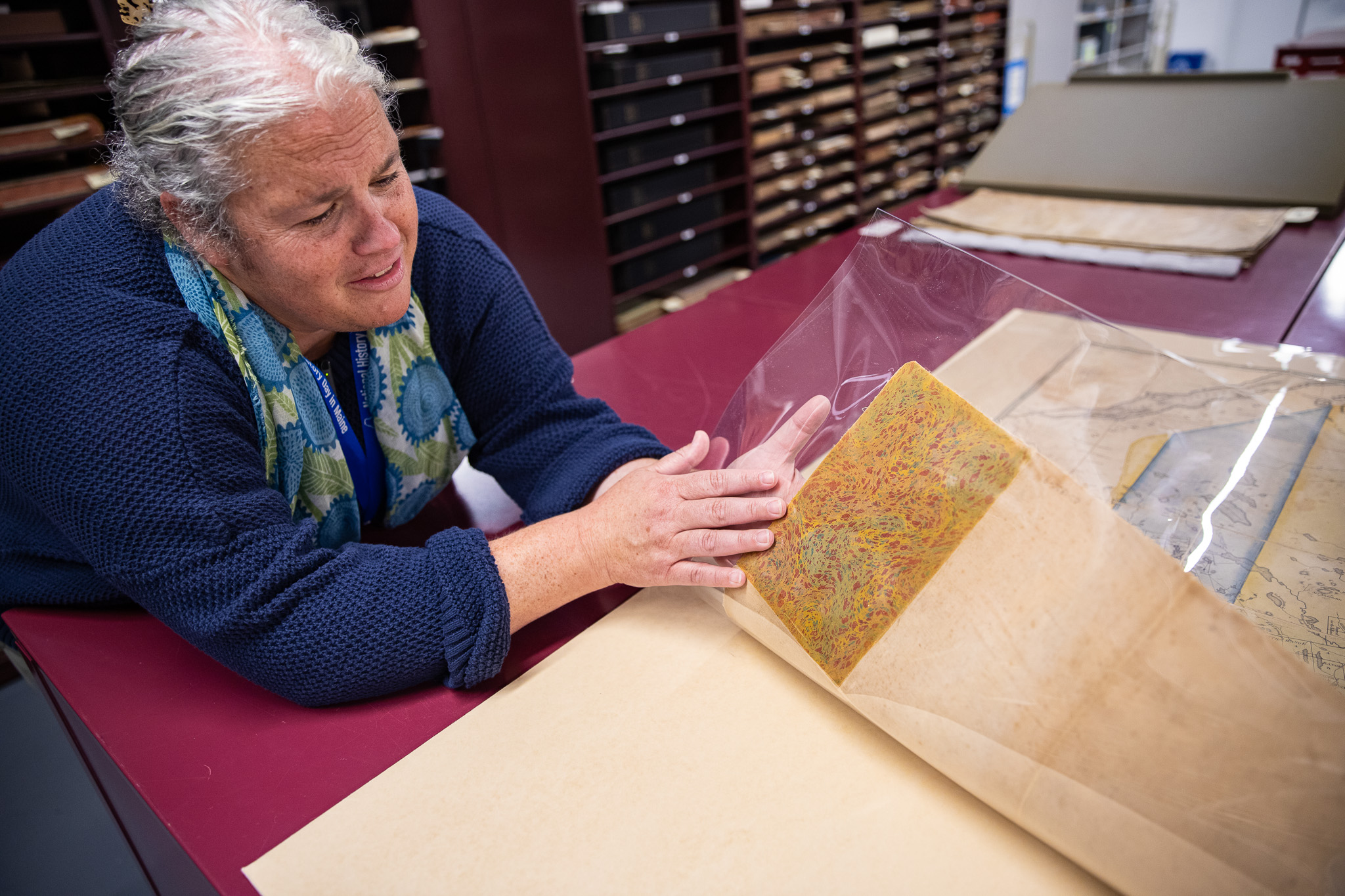
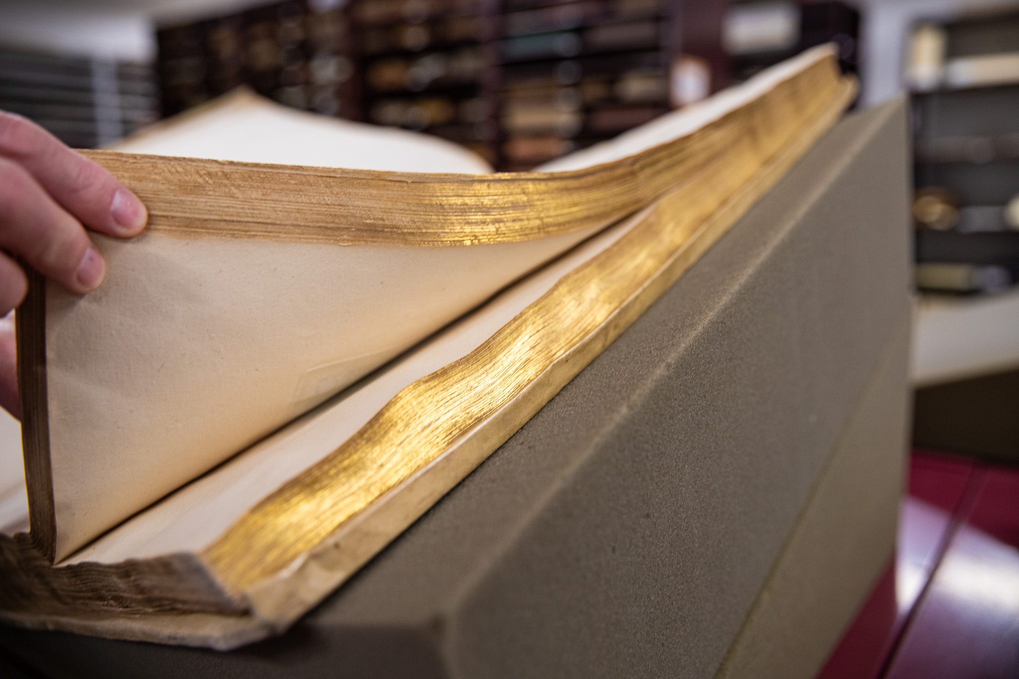
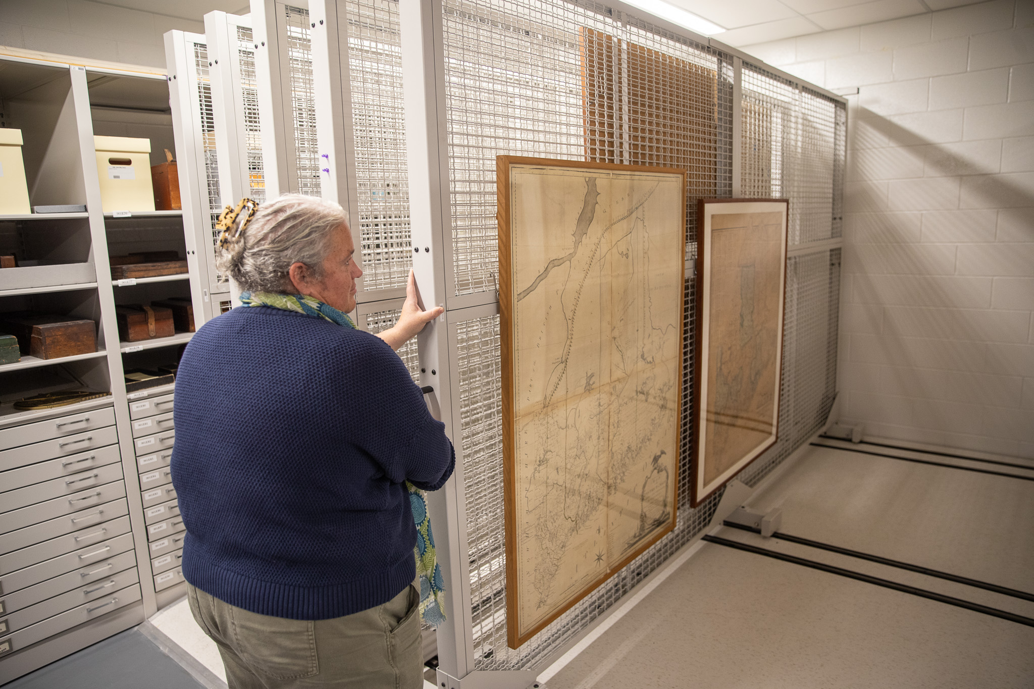
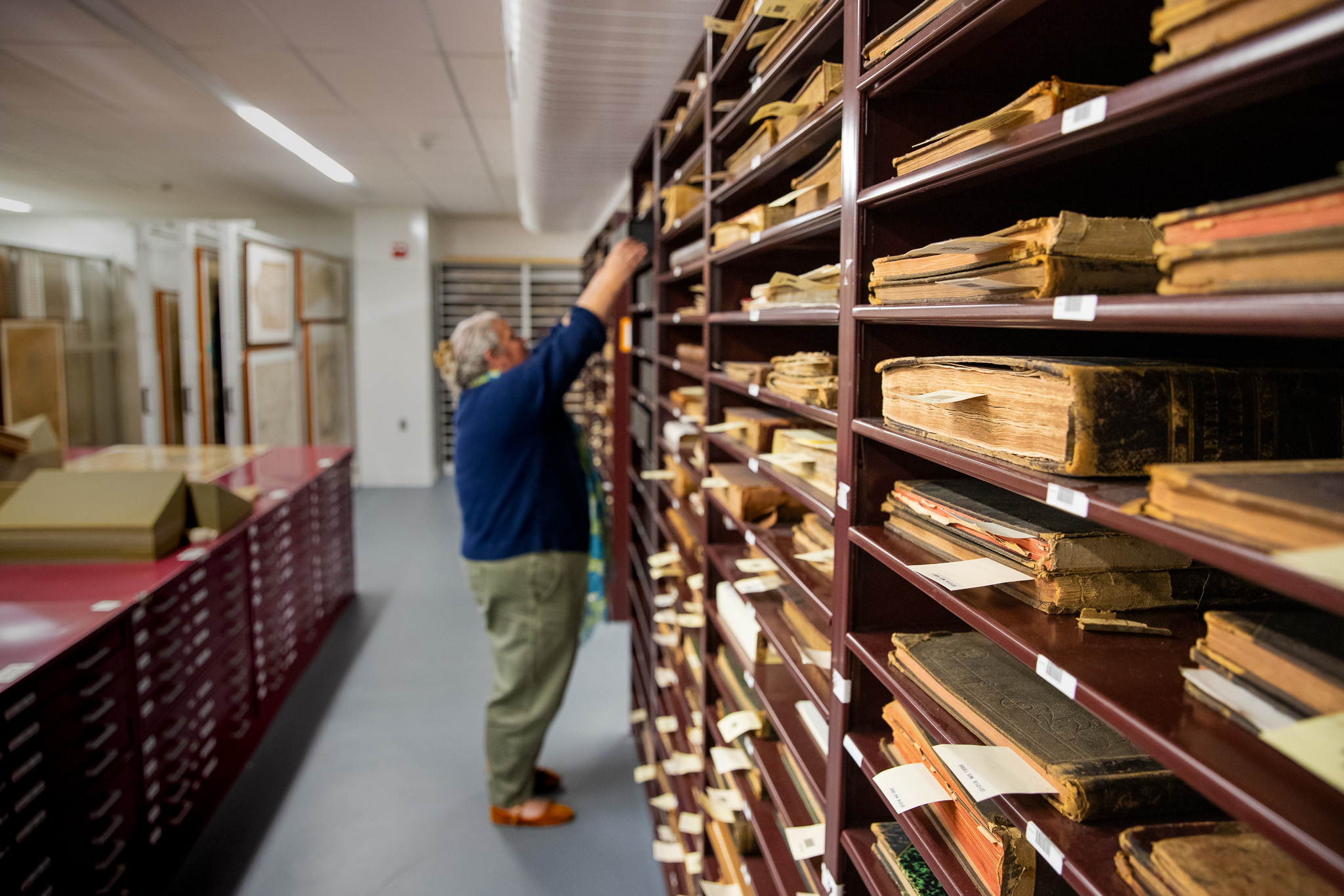
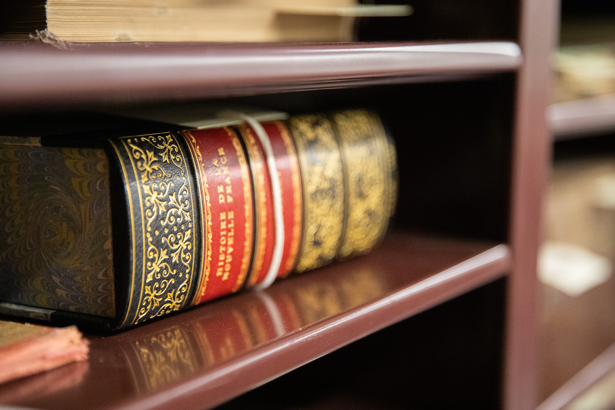
Executive Director Libby Bischof, who is also a professor of history at USM, says keeping the items safely housed in a temperate environment is a constant challenge. Their collections manager and registrar constantly evaluates the climate, storage areas, and how the collections are housed. The storage areas are kept within a narrow climate range for temperature and humidity that accommodates both paper and vellum. Some of the most delicate items have custom cases, each one a small climate-controlled, acid-free box made to fit a single map or book. When repairs are needed, conservators stabilize the items so they remain usable. Much of the collection has been digitized on site in high resolution in their state-of-the-art Imaging Labs, so people can closely study the images while the originals are kept safe.
Despite all these precautions, the Osher Map Library is far from a museum. The maps aren’t always locked away.
“We are a teaching collection. We bring these maps down quite frequently for people to use, and we are charged with protecting these materials and making sure people 100 years from now, 200 years from now, can still see them,” said Bischof.
Every fall, more than 100 USM classes visit the library, covering more than 30 subjects including history, geography, nursing, social work, art, book arts, and engineering. They also see thousands of K-12 students every year, and welcome researchers and members of the general public to view the collections.
The world’s first modern atlas
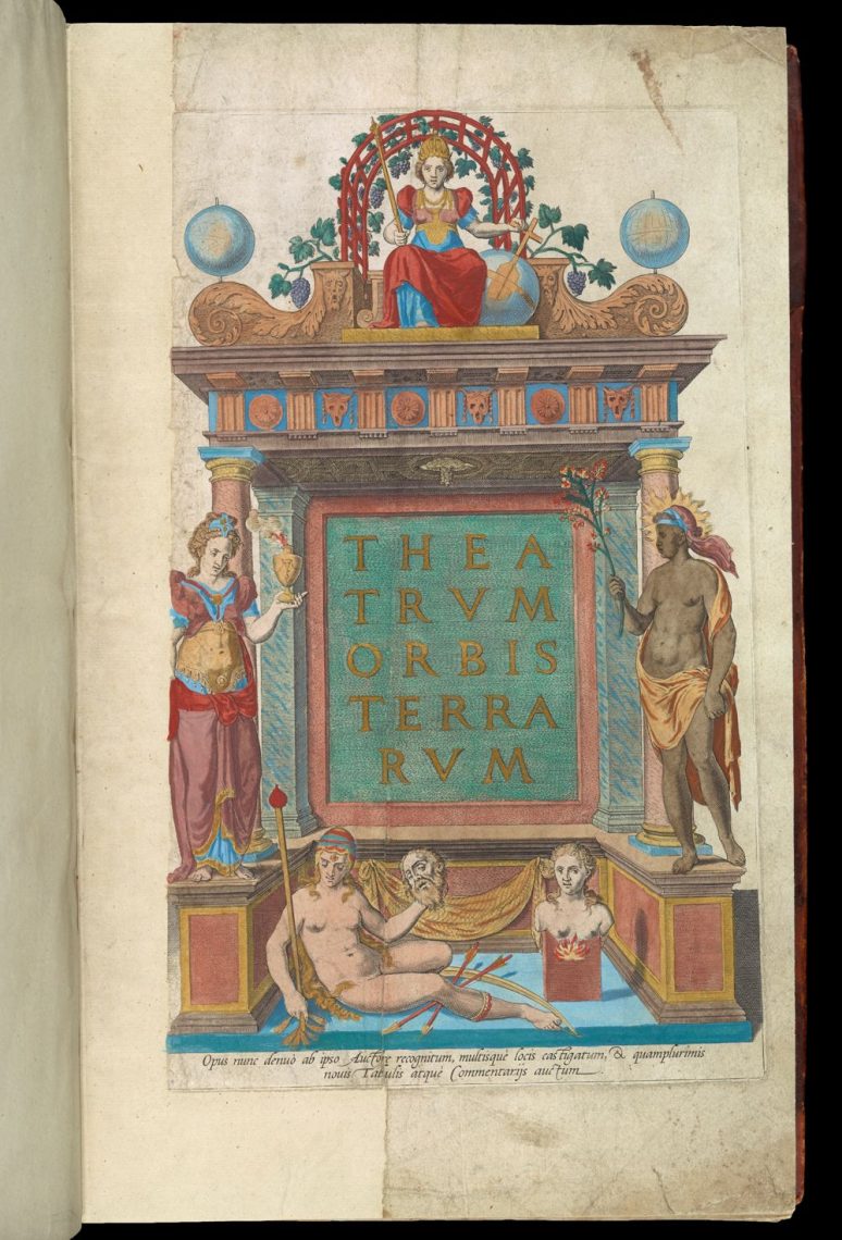
The Theatrum Orbis Terrarum, printed in 1575, is often called the first modern atlas. It was the first single bound book to map the whole known world. The title page features painted women, each one representing Europe, Asia, Africa, America (North and South together), and Magellanica (Antarctica).
In Matthew Edney’s class, students gather around the atlas to consider what the figures are meant to convey. Discussing and debating their meaning is part of the lesson. Edney, the Osher Chair in the History of Cartography and a professor of geography at USM, guides students through what the figures reveal about the map’s creators.
Hand-drawn on sheepskin in 1583
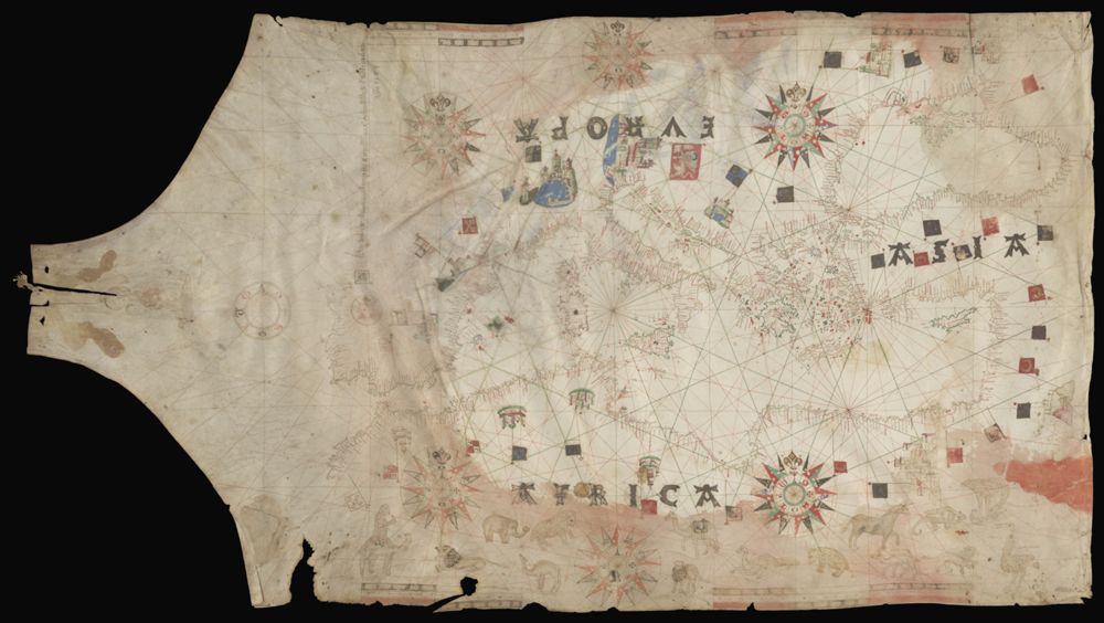
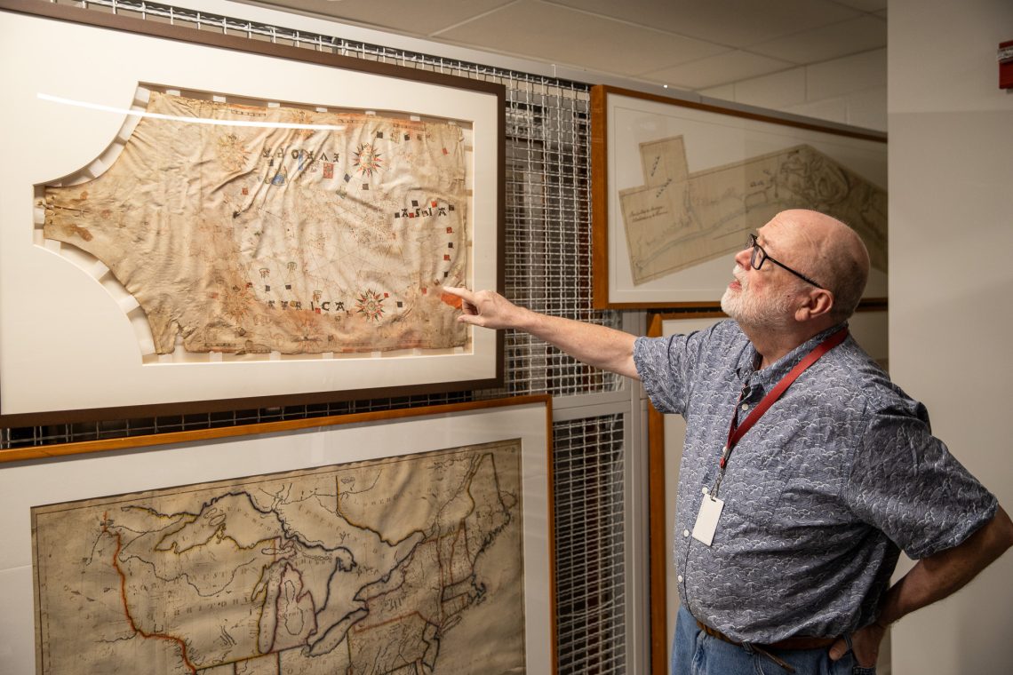
A 1583 navigation chart is one of the collection’s oldest highlights, drawn by hand on sheepskin and painted with gold leaf so fine you only see it when it catches the light. It recently returned from conservation in a custom case with its own climate, so it can travel safely to the reading room.
“It is something that students can’t quite wrap their head around: that one person drew this in the 16th century, and we now have it,” Edney said
The two maps that show Maine becoming a state
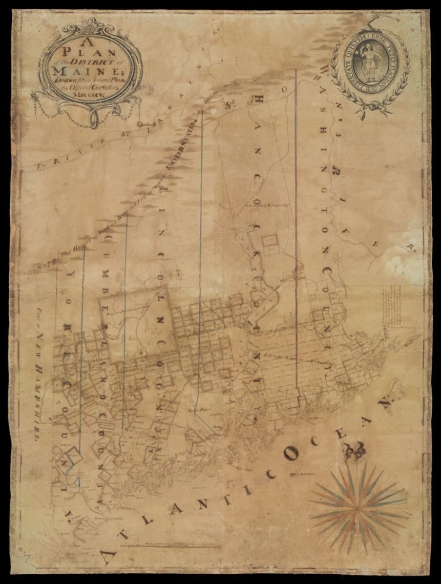 A Plan of the District of Maine. Osgood Carleton, 1795. Osher Collection.
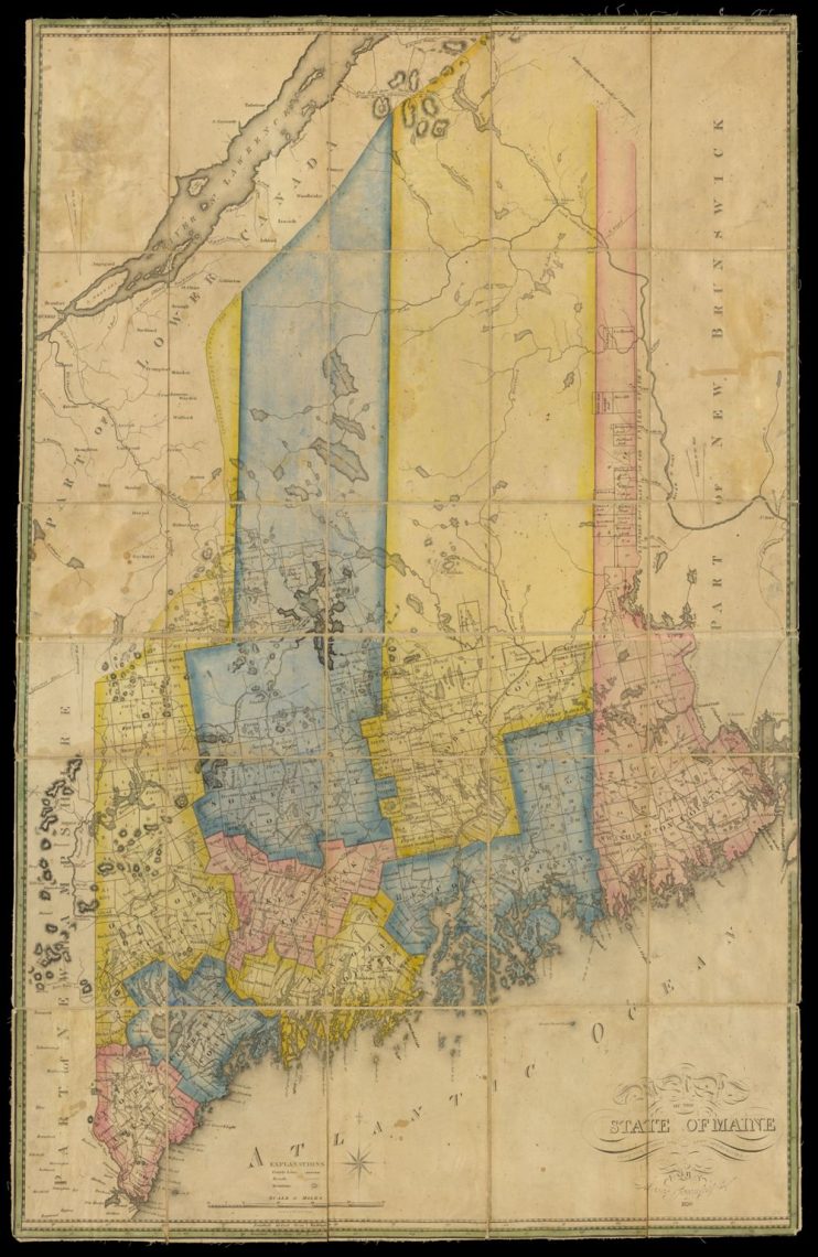 A Map of the State of Maine from the Latest and Best Authorities. Moses Greenleaf, 1820. Osher Collection.
Two maps, shown side by side, tell a single story. The first is Osgood Carleton’s 1795 manuscript plan of the District of Maine, created when Maine was still part of Massachusetts. It shows the divisions of land, with the Massachusetts seal on it. The second is Moses Greenleaf’s 1820 map, printed the year Maine became a state. Greenleaf had worked toward that change for years. Edney uses both maps in his Maine history classes.
“This is all the creation of the Commonwealth until 1820, when, of course, we divorce,” Edney said. “And one of the items in the divorce settlement is all the remaining assets, all this land that has yet to be divided. Massachusetts gets half and Maine gets half.”
You can spot the change if you look closely. On Greenleaf’s map, the type was changed so “district” became “state.” His brightly colored copy, which the library calls the first printed map of Maine as a state, is one of the most requested images and traveled widely during Maine’s 2020 bicentennial. In looking at these maps side by side, viewers also see a story of land dispossession and broken treaties with the Wabanaki tribes.
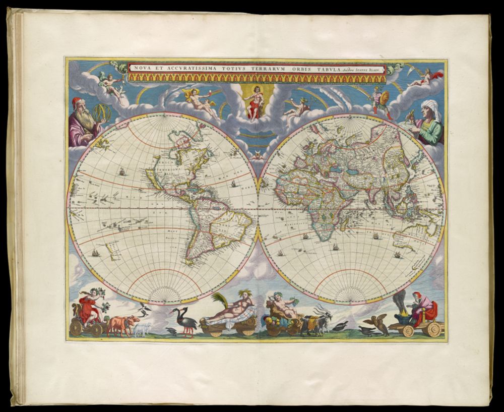
An 11-volume atlas bound in gilded vellum
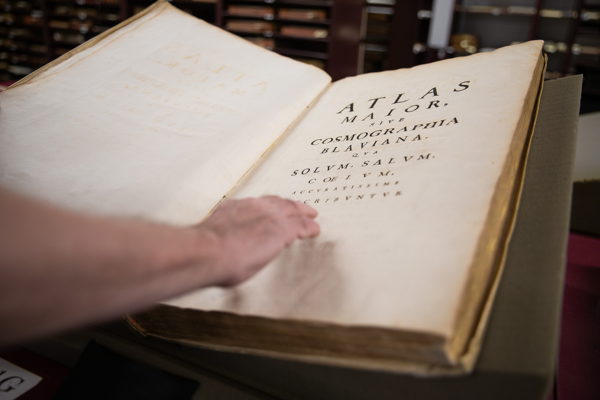
The Atlas Maior is an 11-volume Dutch atlas from 1662, bound in gilded vellum. At the time, it was the grandest atlas available, and owning one showed both wealth and knowledge. Two Amsterdam families competed to create the biggest, most elaborate set, and this atlas was the result.
The library considers it a treasure of the Smith collection, and visitors are often surprised that USM owns it. Each volume has its own custom case.
Where the collection came from and why it keeps growing
The collection started with two private passions. Harold and Peggy Osher built their collection with a focus on quality. L.C. and Eleanor Smith created one just as serious, covering the same centuries. Both families wanted their maps, globes, and atlases to end up at a public university, where faculty and students could use them to teach and learn, and where they could be accessed.
That wish still guides the library today. Harold Osher, who passed away in 2023, left a bequest that funds the Osher Map Library Foundation and allows the library to keep buying maps, so the collection grows by 100 to 150 pieces each year with new acquisitions, alongside donations of rare materials from donors from around the country. Bischof remembers how much Dr. Osher loved the collection.
“Harold always thought that any specialized collection should be actively buying and acquiring items. He loved acquisitions,” Bischof said. “When he would come to visit, I would lay out all the new acquisitions from that year, which he really wanted to see.”
The library currently focuses on collecting maps made by women, people of color, and those that document Indigenous land possession and dispossession. Purchases are made with teaching in mind.
Open to the whole USM community and to the public
The collection is based on one idea: everyone is welcome. And it remains free — thanks to university and private donors. “It is all designed to be a public good, because we’re at a public university,” Bischof said. “And Harold and Peggy Osher saw that, the Smith family saw that, and that’s why they wanted these things at USM and not somewhere else. They chose to put them at a public university.”