

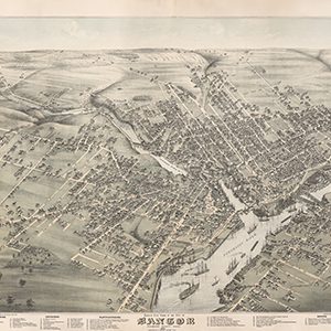
OML offers bird’s eye look at post-Civil War Maine
The Osher Map Library & Smith Center for Cartographic Education project — “Maine’s Bird’s Eye Views, 1870-1905” — has gathered 80 aerial renderings of Maine communities published during the era. Each has been digitized and made available to the public online.