2025 USM Summer Book List
posted in: Libraries, Office of Admissions, University news
Even when classes let out for the summer, the reading never stops for USM faculty and staff.


Even when classes let out for the summer, the reading never stops for USM faculty and staff.
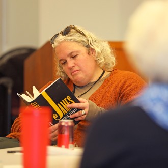
The third meeting of USM Reads focused on Percival Everett’s novel “James,” which recontextualizes “The Adventures of Huckleberry Finn” by Mark Twain.
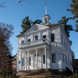
The classroom that inspired Kate Douglas Wiggin to write a classic of children’s literature is still in use by USM students in the Art program.
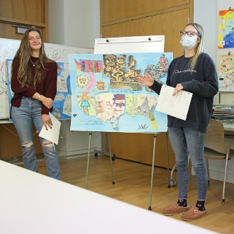
Each of the four maps produced by Dr. Paula Gerstenblatt’s Social Work class used different techniques including collage and allegory to illustrate how student loan debt grew into a national problem.

A call for submissions to USM’s first Employee Art Exhibition yielded 40 pieces by 24 artists across 18 departments.
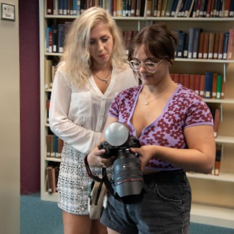
The Portland Players stoked excitement for its upcoming production of “Legally Blonde: The Musical” with a promotional photo shoot at Glickman Library.
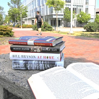
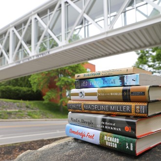
Can’t decide on a book to bring to the beach? The faculty and staff at the University of Southern Maine have some ideas for you.

A shortage of first-person accounts about Maine’s immigrant experience inspired a USM librarian to create a series of workshops to begin filling that gap in the historical record.

The groups that staffed tables at the Banned Book Fair included Intercultural Student Affairs, USM Libraries, and the Recovery Oriented Campus Center.

We are delighted to bring together some of the most inspiring researchers in Franco-American Studies, and we would like to extend an invitation to … Read More